

Science & Technology
November 24, 2014


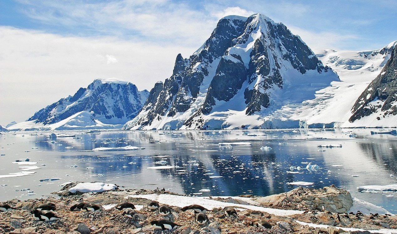
Image: Antarctica - Petermann Island
Credit: W. Bulach / CC BY-SA 4.0 (adapted)
This may soon be set to change however as scientists have this week revealed the first ever high resolution 3D maps of the sea ice thanks to a special remote-controlled submarine that can swim down below the floes and take measurements from underneath.
Covering an area of over 5.4 million square feet, the data was recorded between 2010 and 2012 by an Autonomous Underwater Vehicle known as SeaBED. The findings suggested that the thickness of sea ice in some areas was greater than scientists had been expecting to see.
"Sea ice thickness and its variability in the Antarctic remains one of the great unknowns in the climate system," said Ted Maksym of Woods Hole Oceanographic Institution in Massachusetts.
It is hoped that the data will lead to a better understanding of average sea ice thickness across the Antarctic and subsequently what effect climate change might be having on it.
Source: Reuters
Underwater robot maps Antarctic sea ice
By T.K. RandallNovember 24, 2014
Image: Antarctica - Petermann Island
Credit: W. Bulach / CC BY-SA 4.0 (adapted)
A remote-controlled submarine has discovered that the ice is a lot thicker in some places than expected.
The thickness of Antarctica's sea ice remains one of the most important factors in measuring the effects of global warming in the region, however a combination of technological hurdles and difficult conditions makes obtaining accurate figures a huge challenge.This may soon be set to change however as scientists have this week revealed the first ever high resolution 3D maps of the sea ice thanks to a special remote-controlled submarine that can swim down below the floes and take measurements from underneath.
"Sea ice thickness and its variability in the Antarctic remains one of the great unknowns in the climate system," said Ted Maksym of Woods Hole Oceanographic Institution in Massachusetts.
It is hoped that the data will lead to a better understanding of average sea ice thickness across the Antarctic and subsequently what effect climate change might be having on it.
Source: Reuters
Similar stories based on this topic:


The Unexplained Mysteries
Book of Weird News
AVAILABLE NOW
Take a walk on the weird side with this compilation of some of the weirdest stories ever to grace the pages of a newspaper.
Click here to learn more
Support us on Patreon
BONUS CONTENTFor less than the cost of a cup of coffee, you can gain access to a wide range of exclusive perks including our popular 'Lost Ghost Stories' series.
Click here to learn more

1 week
2 weeks
3 weeks
1 month


This week
This month
All time
| 1. | Electronic Voice Phenomenon | |
| 2. | Orb | |
| 3. | Spirit Photography (Classic) | |
| 4. | Loch Ness Monster | |
| 5. | Ghost | |
| 6. | Area 51 | |
| 7. | Bigfoot | |
| 8. | Roswell Incident | |
| 9. | Paranormal | |
| 10. | Storm Area 51 |


Top | Home | Forum
News | Columns | Encyclopedia


UM 11.3 Unexplained-Mysteries.com (c) 2001-2026
Terms | Privacy Policy | Cookies | Contact
News | Columns | Encyclopedia
UM 11.3 Unexplained-Mysteries.com (c) 2001-2026
Terms | Privacy Policy | Cookies | Contact