Archaeology & History
December 6, 2023 · 0 comments

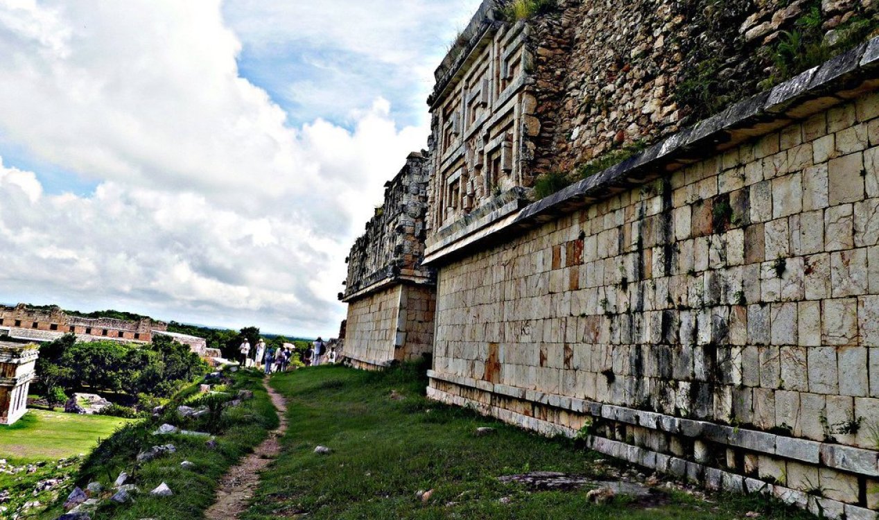
The Governor's Palace ruins in Uxmal. Image Credit: CC BY-SA 3.0 Mesoamerican
It is believed that the road was in use for at least 250 years until around 950 AD.
It was discovered by archaeologists at Mexico's National Institute of Anthropology and History (INAH) who used LiDAR-equipped drones to scan some 470 acres of the jungle.
LiDAR, which is similar to radar but uses lasers as oppose to radio waves, has long proven an effective tool for locating evidence of long-lost structures because it can help identify signs of ancient buildings, roads and earthworks present underneath trees and undergrowth.
The new find is particularly fascinating because little was known about the road connecting the two cities and it was also thought to be part of a much larger network of paths and roads.
The cities of Uxmal and Kabah, meanwhile, have themselves offered up a treasure trove of archaeological evidence over the years and remain important destinations for both tourists and archaeologists alike.
Source: IFL Science | Comments (0)
Long-lost 18km Maya road discovered beneath the jungles of Mexico
By T.K. RandallDecember 6, 2023 ·
 0 comments
The Governor's Palace ruins in Uxmal. Image Credit: CC BY-SA 3.0 Mesoamerican
Archaeologists spotted the road, which was once a major highway connecting two cities, using LiDAR scanning.
Dating back as far as 700 AD, this major highway through the Puuc region of Mexico in the state of Yucatan once connected the thriving Maya cities of Uxmal and Kabah.It is believed that the road was in use for at least 250 years until around 950 AD.
It was discovered by archaeologists at Mexico's National Institute of Anthropology and History (INAH) who used LiDAR-equipped drones to scan some 470 acres of the jungle.
The new find is particularly fascinating because little was known about the road connecting the two cities and it was also thought to be part of a much larger network of paths and roads.
The cities of Uxmal and Kabah, meanwhile, have themselves offered up a treasure trove of archaeological evidence over the years and remain important destinations for both tourists and archaeologists alike.
Source: IFL Science | Comments (0)

The Unexplained Mysteries
Book of Weird News
AVAILABLE NOW
Take a walk on the weird side with this compilation of some of the weirdest stories ever to grace the pages of a newspaper.
Click here to learn more

Support us on Patreon
BONUS CONTENTFor less than the cost of a cup of coffee, you can gain access to a wide range of exclusive perks including our popular 'Lost Ghost Stories' series.
Click here to learn more
Israel, Palestine and the Middle-East
United States and the Americas
Other World News
Spirituality, Religion and Beliefs
Total Posts: 7,775,511 Topics: 325,386 Members: 203,861
Not a member yet ? Click here to join - registration is free and only takes a moment!
Not a member yet ? Click here to join - registration is free and only takes a moment!


Please Login or Register to post a comment.