Modern Mysteries
June 15, 2015 · 9 comments
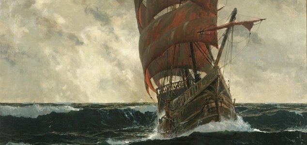
The Martellus map was believed to have been used by Columbus. Image Credit: Michael Zeno Diemer
The map was donated to Yale University in 1962 however after hundreds of years its markings had faded dramatically making it difficult to make out all of the original writing and details.
Now in an effort to get around this problem a team of researchers has used a technique known as multispectral-imaging which involves photographing the map in twelve different colors and then analysing the images using special computer software.
"We've recovered more information than we dared to hope for," said project leader Chet Van Duzer.
The method revealed a huge amount of previously hidden details on the map including numerous textual descriptions of the people who lived in various parts of the world at the time such as the 'Panotii' of Southern Asia who were said to have ears so large they could be used as sleeping bags.
Researchers studying the map also discovered that Martellus had used several different sources when creating it including the Egyptus Novelo map and text from 'The Travels of Marco Polo'.
"It's always interesting to learn how people conceived the world at that period in history," said Van Duzer. "The late 15th century was a time when people's image of the world was changing so rapidly."
"Even within Martellus's own career, what he was showing of the world expanded dramatically."
Source: Phys.org | Comments (9)
Hidden secrets found in Columbus' 1491 map
By T.K. RandallJune 15, 2015 ·
 9 comments
The Martellus map was believed to have been used by Columbus. Image Credit: Michael Zeno Diemer
The map studied by Columbus before his trans-Atlantic voyage has been cleaned up using computer software.
Created by German cartographer Henricus Martellus, the highly detailed map was drawn up in the 15th century and is thought to have been used by Christopher Columbus himself.The map was donated to Yale University in 1962 however after hundreds of years its markings had faded dramatically making it difficult to make out all of the original writing and details.
Now in an effort to get around this problem a team of researchers has used a technique known as multispectral-imaging which involves photographing the map in twelve different colors and then analysing the images using special computer software.
"We've recovered more information than we dared to hope for," said project leader Chet Van Duzer.
Researchers studying the map also discovered that Martellus had used several different sources when creating it including the Egyptus Novelo map and text from 'The Travels of Marco Polo'.
"It's always interesting to learn how people conceived the world at that period in history," said Van Duzer. "The late 15th century was a time when people's image of the world was changing so rapidly."
"Even within Martellus's own career, what he was showing of the world expanded dramatically."
Source: Phys.org | Comments (9)

The Unexplained Mysteries
Book of Weird News
AVAILABLE NOW
Take a walk on the weird side with this compilation of some of the weirdest stories ever to grace the pages of a newspaper.
Click here to learn more

Support us on Patreon
BONUS CONTENTFor less than the cost of a cup of coffee, you can gain access to a wide range of exclusive perks including our popular 'Lost Ghost Stories' series.
Click here to learn more
Israel, Palestine and the Middle-East
Science and Technology
Ancient Mysteries and Alternative History
Earth, Natural Disasters and the Environment
Total Posts: 7,777,922 Topics: 325,529 Members: 203,908
Not a member yet ? Click here to join - registration is free and only takes a moment!
Not a member yet ? Click here to join - registration is free and only takes a moment!




Please Login or Register to post a comment.