

Archaeology & History
August 22, 2022


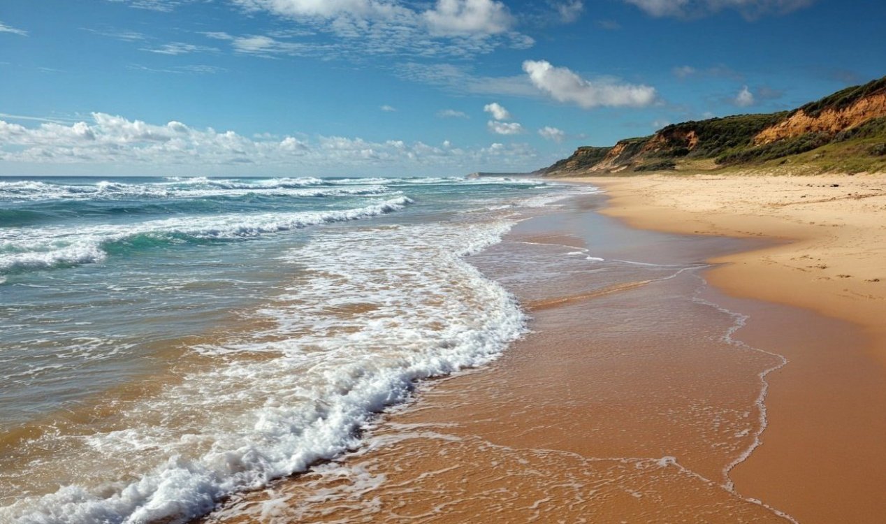
Image: AI-generated (Midjourney)
One of these is Cantre'r Gwaelod - a landmass once thought to exist off the coast of Wales.
Historians have been searching for accounts of this so-called Welsh Atlantis for years and now, following an intriguing discovery on a 13th-Century map, they may have made a breakthrough.
Known as the Gough Map (after Richard Gough who acquired it from an estate in 1774), it appears to show two mysterious islands in Cardigan Bay that don't actually exist in the present day.
"The Gough Map is extraordinarily accurate considering the surveying tools they would have had at their disposal at that time," said Prof Simon Haslett of Swansea University.
"The two islands are clearly marked and may corroborate contemporary accounts of a lost land mentioned in the Black Book of Carmarthen."
If these islands did exist, however, it is likely that they were lost to the waves long ago.
"Legends of sudden inundation, such as in the case Cantre'r Gwaelod, might be more likely to be recalling sea floods and erosion, either by storms or tsunami, that may have forced the population to abandon living along such vulnerable coasts," said Haslett.
"In roughly a millennium, from Ptolemy's time to the building of Harlech Castle during the Norman period, the seascape had completely altered."
Source: BBC News
Map shows evidence of long-lost 'Welsh Atlantis'
By T.K. RandallAugust 22, 2022
Image: AI-generated (Midjourney)
A legendary lost land once thought to exist in Cardigan Bay has shown up on an old 13-Century map of the British Isles.
The legend of Atlantis certainly needs no introduction, but there exist several other, lesser known legends of a similar nature in countries all over world that continue to remain similarly elusive.One of these is Cantre'r Gwaelod - a landmass once thought to exist off the coast of Wales.
Historians have been searching for accounts of this so-called Welsh Atlantis for years and now, following an intriguing discovery on a 13th-Century map, they may have made a breakthrough.
Known as the Gough Map (after Richard Gough who acquired it from an estate in 1774), it appears to show two mysterious islands in Cardigan Bay that don't actually exist in the present day.
"The two islands are clearly marked and may corroborate contemporary accounts of a lost land mentioned in the Black Book of Carmarthen."
If these islands did exist, however, it is likely that they were lost to the waves long ago.
"Legends of sudden inundation, such as in the case Cantre'r Gwaelod, might be more likely to be recalling sea floods and erosion, either by storms or tsunami, that may have forced the population to abandon living along such vulnerable coasts," said Haslett.
"In roughly a millennium, from Ptolemy's time to the building of Harlech Castle during the Norman period, the seascape had completely altered."
Source: BBC News
Similar stories based on this topic:


The Unexplained Mysteries
Book of Weird News
AVAILABLE NOW
Take a walk on the weird side with this compilation of some of the weirdest stories ever to grace the pages of a newspaper.
Click here to learn more
Support us on Patreon
BONUS CONTENTFor less than the cost of a cup of coffee, you can gain access to a wide range of exclusive perks including our popular 'Lost Ghost Stories' series.
Click here to learn more

1 week
2 weeks
3 weeks
1 month


This week
This month
All time
| 1. | Electronic Voice Phenomenon | |
| 2. | Orb | |
| 3. | Spirit Photography (Classic) | |
| 4. | Loch Ness Monster | |
| 5. | Ghost | |
| 6. | Area 51 | |
| 7. | Bigfoot | |
| 8. | Roswell Incident | |
| 9. | Paranormal | |
| 10. | Storm Area 51 |


Top | Home | Forum
News | Columns | Encyclopedia


UM 11.3 Unexplained-Mysteries.com (c) 2001-2026
Terms | Privacy Policy | Cookies | Contact
News | Columns | Encyclopedia
UM 11.3 Unexplained-Mysteries.com (c) 2001-2026
Terms | Privacy Policy | Cookies | Contact